Project Highlights:
- Hosted thousands of its CCTV video files in the cloud
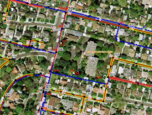
- Created a map, which displayed multiple videos for each gravity main, using Esri’s ArcGIS platform
- Developed a workflow to batch input historical CCTV video files into Cityworks
EEC Environmental (EEC) has been retained by a Southern California Sanitary District to host thousands of its CCTV video files in the cloud and enable them for easy playback within a web browser. Each video is tied to a gravity main asset and is made accessible from two platforms: (1) the computerized maintenance management system (CMMS) Cityworks which allows a user to search by asset or by work history, and (2) a custom map application dedicated to “search and location” tools.
All video files are compressed and transcoded to give the viewer quick access to the content. The user can quickly skip ahead in the video without requiring a full download of the video files, eliminating long download times and making viewing easy even when working off a mobile device in the field.
The ability to view videos from within Cityworks required the development of a custom plugin that allows video playback from within a “CCTV inspection” for a pipe. PDF reports are available for download along with the video. EEC has also developed a workflow to batch input historical CCTV video files into Cityworks.
The custom map application allows a user to search for a gravity main by its ID or its upstream and downstream manholes. The map can also display multiple videos for each gravity main so that a history of the CCTV inspections can be explored. The map was created using Esri’s ArcGIS platform, making it highly interoperable with many other GIS tools. Both this map and the Cityworks application are password-protected, ensuring the security of this content.


